Key points
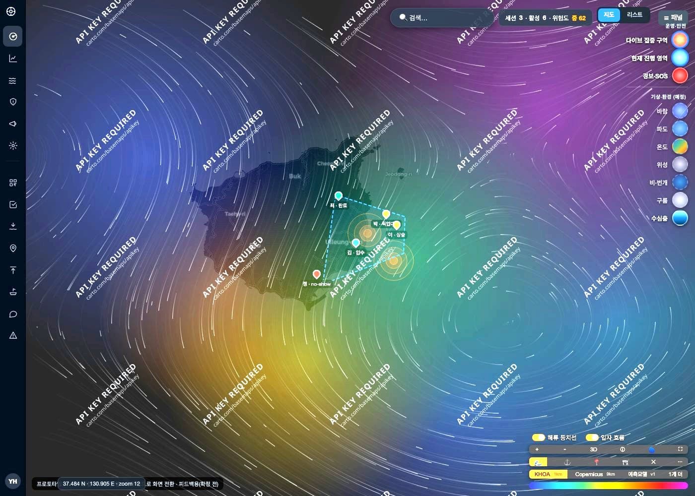
- A diver is unreachable underwater — so the surfacing point is computed from what was known before entry.
- Diver and captain see different screens — underwater and on deck need different facts.
- Geospatial math runs in the database — pulling coordinates into the app is slower and gets it wrong.
Development record
Want something like this?
The subject line will note which project brought you here.
I reply within one to three business days.
Enquire by email